magnum
IndoForum Activist C
- No. Urut
- 1320
- Sejak
- 27 Mei 2006
- Pesan
- 14.143
- Nilai reaksi
- 417
- Poin
- 83
Selamat Tinggal Mars Global Surveyor

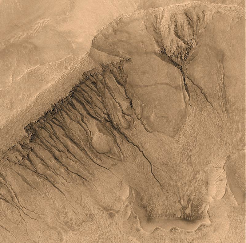
Wahan Mars Global Surveyor (MGS) yang sudah mengorbit Planet Mars selama sekitar 10 tahun.
PASADENA, SENIN--Wahana Mars Global Surveyor (MGS) yang telah bertugas di orbit Mars sekitar 10 tahun terancam pensiun untuk selamanya. Badan Antariksa AS (NASA) masih gagal melakukan kontak dengan wahana pengorbit Planet Mars yang tidak lagi mengirimkan sinyal ke Bumi sejak 2 November 2006.
Manajer proyek MGS Tom Thorpe mengatakan, wahana mungkin kekurangan sumber energi karena motor yang memutar panel surya macet. Tanpa orientasi yang pas ke arah matahari, wahana tidak dapat membangkitkan energi yang cukup.
Wahana tetap diam meski dikirim lebih dari 800 perintah sejak putus kontak. Usaha untuk menghidupkannya kembali juga dilakukan antara lain dengan mengirimkan perintah-perintah untuk diteruskan kepada robot penjelajah Opportunity yang sedang beroperasi di permukaan Mars. Meski demikian, robot penjelajah itu tidak menerima sinyal apapun yang dicoba dikirimkan pada hari Selasa (21/11) maupun Rabu (22/11).
"Kami tidak akan lelah untuk mencoba cara apapun tapi kami sadar bahwa kemungkinan untuk mengembalkan MGS kelihatannya tidak terlalu bagus," kata Fuk Li, program manajer eksplorasi Mrs dari Laboratorium Propulsi Jet NASA.
Wahana pengorbit lain yang lebih muda Mars Reconnaissance Orbiter (MRO) juga diminta mencari dan merekam MGS sehingga masalahnya dapat diketahui. Tapi, deputi proyek manajer MRO Jim Erickson tidak begitu optimis bisa merekam keberadaan MGS.
MRO baru sampai ke orbit Mars bulan Maret 2006 dan telah mulai mengirimkan foto-foto permukaan Mars sejak Oktober, antara lain foto lokasi Opportunity yang sedang mencoba memasuki kawah Victoria.
Seminggu lalu, NASA menyatakan secara resmi bahwa misi wahana untuk memetakan permukaan Planet Merah mungkin harus berakhir. Padahal, wahana yang diluncurkan 7 November 1996 sedianya akan dipakai untuk mencari lokasi pendaratan yang tepat untuk dua robot penjelajah generasi terbaru, Phoenix dan Mars Science Lab.
Jika MGS tetap ngadat, MRO akan mengambil alih tugas ini. Phoenix dijadwalkan akan mendarat di Mars pada tahun 2008. Sedangkan Mars Science Lab akan mendarat pada tahun 2010. Misi MRO yang dijadwalkan hanya sampai 2010 mungkin harus lebih lama.
Saat ini, Mars dikelilingi empat wahana pengorbit. Selain MGS dan MRO, terdapat wahana Mars Odyssey milik MASA dan Mars Express milik Eropa.